Wednesday, October 6, 2010
Finds & Fancies: Vintage Maps & Atlases
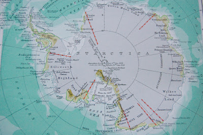
I'd been looking around in thrift stores for an old atlas for a while and hadn't spotted one until my trip to the Sally Ann today when I found 2 of them. One of them is a 'Canadian Oxford Atlas' from 1957 and the other, a 'Reader's Digest' version from 1977- both being a really large size, perfect for using for craft or art projects! I've had a few ideas about using them as gift wrap, covering books or making cards out of them. I'm sure if I really got into it I could frame some of the ones I really like, or use them as a back-drop for a collage. It's kind of nice to have 2 of them- I get a little sentimental just looking through the maps and start to getting cold feet about actually cutting pages out of the books, but with two I can save one for just looking through and one can be for making crafts with. I know this isn't a new idea to use vintage maps for projects; just typing in 'vintage maps' on Etsy brought up a whole list of shops and makers that use maps in their work.
Here are just a few craft how-to ideas I found to use vintage maps with:
How to make a bangle from a vintage map by the CraftStylish blog
Vintage Map blocks for kids by the Craftzine blog
Map Coasters by Martha Stewart Crafts
I'll let you know when I actually get around to getting crafty with my new atlases.
Subscribe to:
Post Comments (Atom)


No comments:
Post a Comment